
TP10/26BUKA
Land Management and Legislation
KURSUS SIJIL PENTADBIRAN TANAH - MODUL IV: BILANGAN 2 (MODUL SELAIN KANUN TANAH NEGARA)
Registration openRegister
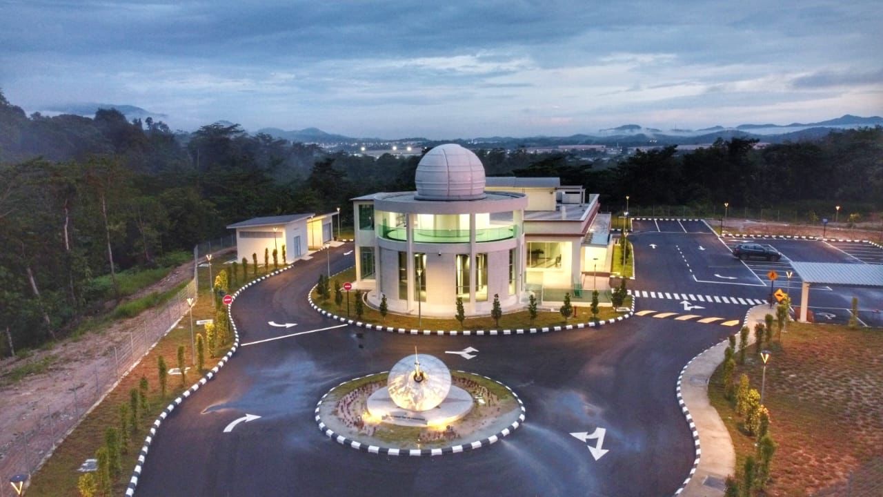
The only training institute mandated to train Malaysia's land management, survey and mapping officers, with related information technology, since 1998.
Search or filter by division and mode. Registration is handled through the eSPEK portal.
BUKA: registration open. TUTUP: registration closed. SELESAI: course completed. BATAL: course cancelled. Showing 3 open courses.
Three steps from catalog to classroom.
Centre of Excellence and Competency Development in Land Management, Survey and Mapping with Informative Technology related.
Enhance the excellence of human capital and organisation in Land administration, Survey and Mapping as well as a driving force in the nation development through training course and finest development programme.
To improve human capital competence in Land Administration, Survey and Mapping with Informative Technology through systematic and organised training.
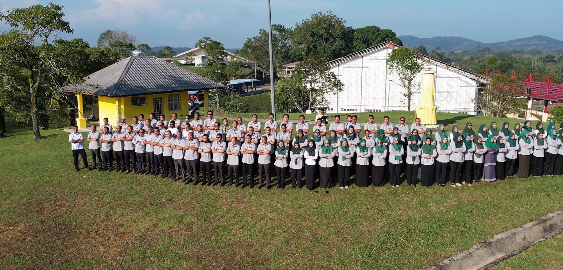 INSTUN staff, Behrang Campus
INSTUN was established on 1 May 1998, following a cabinet order of 9 July 1997, consolidating the training functions of the Department of Director General of Lands and Mines and the Department of Survey and Mapping Malaysia. Today it operates under the Ministry of Natural Resources and Environmental Sustainability from its campus in Behrang, 35950 Tanjong Malim, Perak.
Bekerjalah dengan ikhlas, bekerjalah dengan baik.
Alhamdulillah, saya ingin memanjatkan rasa syukur kerana kita telah selesai menjalani tahun 2025 dengan jayanya. Sekalung terima kasih dan setinggi-tinggi penghargaan kepada seluruh bangsa INSTUN yang telah sama-sama bekerja, berusaha serta mencapai sasaran tugasan yang telah ditetapkan.
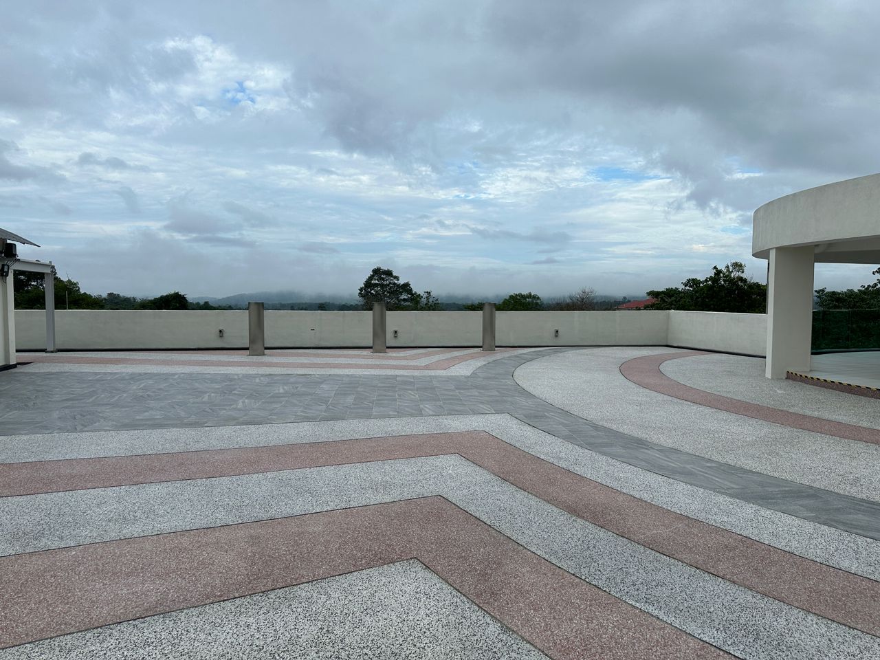
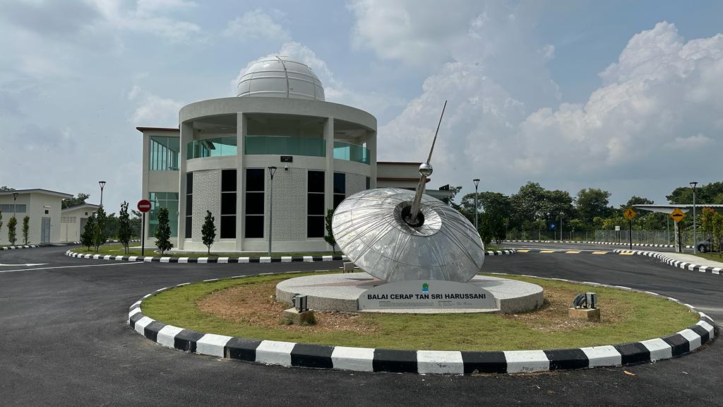 Tan Sri Harussani Observatory, Behrang Campus
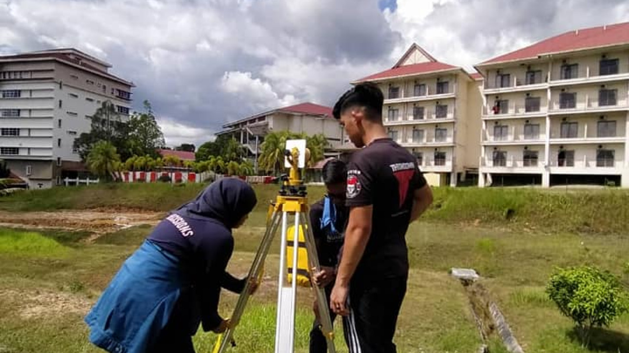 Survey instrument practical, Behrang Campus
The only training institute mandated for land management, survey and mapping, with related information technology.
ISO and SIRIM certified, with Client's Charter achievement published monthly.
Land, survey and mapping, information technology, administration and finance, research and development.
Physical courses at Behrang Campus, online and hybrid, all registered through eSPEK.
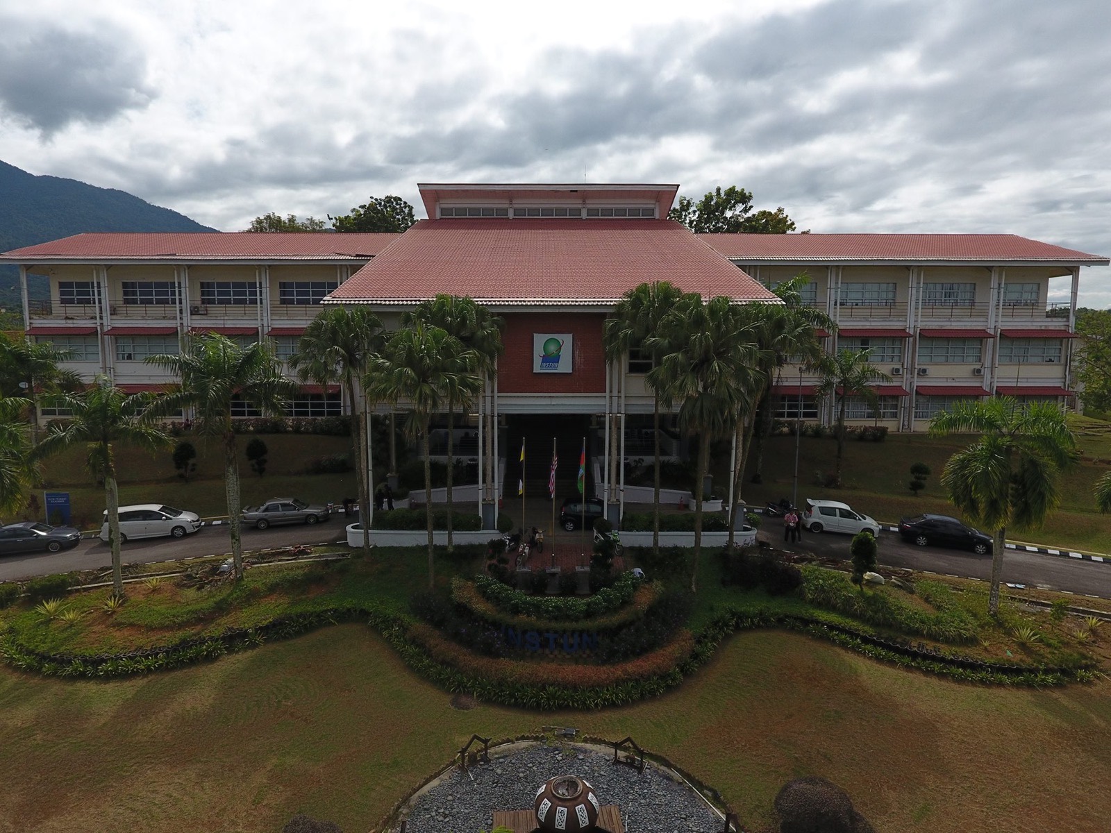 Advisory
Land, surveying and mapping consultation for agencies.
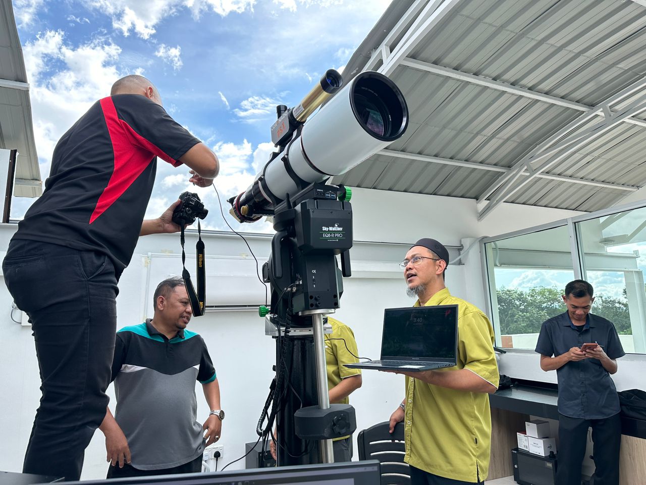 Observatory
Tan Sri Harussani Observatory at Behrang.
 Academy
INSTUN Academy training programmes.
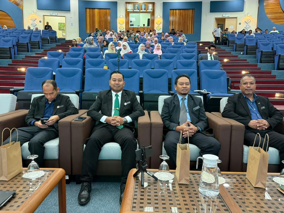 Facilities
Booking of INSTUN training facilities.
 Research
INSTUN research publications.
 Bulletin
INSTUN bulletins and notices.
Search courses, check status and register through the eSPEK portal.